Aerospace & UAV Programs
Autonomous Navigation
for Unmanned Aircraft
AI-Native Embedded Linux for fixed-wing, multirotor, and VTOL aircraft. MAVLink 2.0 with message signing, PX4 Autopilot 1.16.0, 16-state EKF sensor fusion, and NPIE v2.0.0 inference — running on Linux 6.12 LTS + PREEMPT_RT in 64 MB.
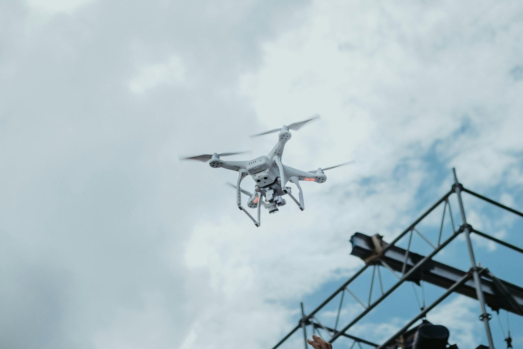
Aerospace autonomy
Mission systems need operational visuals, telemetry paths, and edge deployment clarity.
Aerospace programs combine NowFlow mission orchestration with NeuralOS flight-edge runtime and QANTIS uncertainty-aware decision research.
Edge deployment flow
Live modelModel
PREEMPT_RT
Runtime
MAVLink/PX4
Device
Offline inference
Fleet
PREEMPT_RT
Signal
PREEMPT_RT
Signal
MAVLink/PX4
Signal
Offline inference
Stack
The aerospace stack, layer by layer.
Click any layer to see the components, integrations, and operational guarantees from mission planning down to the airframe.
Aerospace stack
6 layersFrom sub-1 kg multirotors to logistics platforms — same image, same provenance, same audit trail.
Mission planning, BVLOS coordination, fleet dispatching, and human-in-the-loop sign-off — orchestrated as workflows that survive controller hand-offs and weather diversions.
Key Capabilities
Everything an autonomous aircraft needs.
MAVLink Flight Control
Native MAVLink 2.0 with message signing and PX4 Autopilot 1.16.0 integration. 16-state EKF sensor fusion (IMU, GPS, Baro, Mag) on a Linux 6.12 LTS PREEMPT_RT kernel delivers deterministic < 1 ms latency for attitude, velocity, and position control.
ORB-SLAM3 Navigation
GPS-denied visual-inertial SLAM for environments where satellite signals are unavailable or jammed. Stereo and monocular camera fusion with IMU data builds real-time 3D maps for autonomous waypoint navigation in urban canyons and indoor spaces.
Swarm & Fleet Management
Built-in swarm engine with V/Line/Circle/Grid formations and Raft leader election. WiFi mesh networking (802.11s + BATMAN-adv) coordinates fleets with Remote ID (ASTM F3411) compliance, RAUC OTA updates, and eBPF QoS for MAVLink priority.
Platform Integration
NeuralOS for aerospace.
NeuralOS v5.0.0 provides the AI-Native Embedded Linux layer between your flight controller and mission application. It handles 16-state EKF sensor fusion, NPIE v2.0.0 perception, MAVLink 2.0 communication, and swarm coordination — so your team can focus on the mission.
Hard real-time guarantees with < 1 ms latency in a 64 MB footprint, < 5 s boot.
Authenticated command links to PX4 Autopilot 1.16.0 with eBPF QoS traffic priority.
12 inference backends for camera, LiDAR, and thermal inputs processed entirely on-device.
V/Line/Circle/Grid formations, Raft leader election, and ASTM F3411 Remote ID compliance.
Use Cases
From survey flights to BVLOS.
From infrastructure inspection to fleet-scale delivery, NeuralOS powers autonomous aircraft with edge AI.
Sortable comparison across mission profiles, payloads, and regulatory class.
| Use case | Mission range round-trip | Payload | Comms profile | Reference airframe | Regulatory class |
|---|---|---|---|---|---|
Infrastructure inspection Powerlines, pipelines, wind farms, rail. Onboard CV detects cracks, hot spots, vegetation encroachment; reports lift to the ops console for engineer review. Powerline CVHot-spot IRORB-SLAM3 | 20–60 km | RGB + thermal | 4G/5G + RTH | Multirotor + Pixhawk 6X + Jetson Orin Nano | BVLOS specific category |
Survey & mapping Photogrammetry, lidar, multispectral mapping. Auto-grid mission, real-time NDVI overlays for agriculture, GeoTIFF output to GIS pipeline. PhotogrammetryMultispectralGeoTIFF | 5–30 km | RGB + multispec | WiFi + cellular | Fixed-wing + Pixhawk 6X | Open / specific |
Logistics & delivery Last-mile and middle-mile delivery — package release, geofenced no-fly zones, automatic return on low battery or weather diversion. Delivery releaseGeofenceRTH policy | 10–25 km | 1–5 kg | 4G/5G + RTH | Multirotor + Jetson AGX | BVLOS specific category |
Precision agriculture Crop scouting, NDVI, variable-rate spray. Onboard classifier flags pest hotspots; mission planner generates spray map for ground equipment. NDVIVariable-rateSpray map | 1–10 km | Sprayer or sensor | WiFi mesh | Multirotor / fixed-wing + Pixhawk | Open category |
Fleet & swarm WiFi-mesh swarm with V / Line / Circle / Grid formations and Raft leader election. Decentralised dispatch survives single-aircraft loss. Swarm engineRaft electionWiFi mesh | Per-aircraft | Mixed | Mesh + cellular | Jetson Orin Nano cluster | BVLOS specific category |
By the Numbers